
Файл:Livingston-Location.JPG

Оригинален файл (872 × 872 пиксела, големина на файла: 111 КБ, MIME-тип: image/jpeg)
| Този файл е от Общомедия и може да се използва от други проекти.
Следва информация за файла, достъпна през оригиналната му описателна страница. |
Резюме
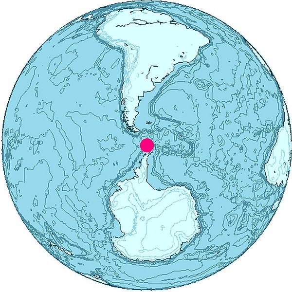
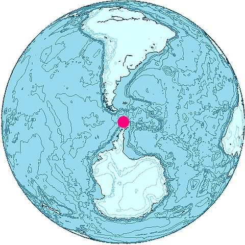
Location of Livingston Island, South Shetland Islands, Antarctica
The map was created with this online map creation tool archive copy at the Wayback Machine.
Other versions : Image:EarthCenteredOnSouthShetlandIslands.jpg, Image:AntDotMap Livingston.png
Лицензиране

|
This work is free software; you can redistribute it and/or modify it under the terms of the GNU General Public License as published by the Free Software Foundation; either version 2 of the License, or any later version. This work is distributed in the hope that it will be useful, but without any warranty; without even the implied warranty of merchantability or fitness for a particular purpose. See version 2 and version 3 of the GNU General Public License for more details. |
История на файла
Избирането на дата/час ще покаже как е изглеждал файлът към онзи момент.
| Дата/Час | Миникартинка | Размер | Потребител | Коментар | |
|---|---|---|---|---|---|
| текуща | 11:19, 23 юни 2006 | | 872 × 872 (111 КБ) | Apcbg | Location of Livingston Island, South Shetland Islands, Antarctica The map was created with this [http://www.aquarius.geomar.de/omc/ online map creation tool]. {{GFDL}} Category:Antarctica |
Използване на файла
Следната страница използва следния файл:
Глобално използване на файл
Този файл се използва от следните други уикита:
- Употреба в ca.wikipedia.org
- Употреба в en.wikinews.org
- Употреба в eu.wikipedia.org
- Употреба в fr.wikipedia.org
- Употреба в gl.wikipedia.org
- Употреба в lt.wikipedia.org
- Употреба в pt.wikipedia.org
- Употреба в ru.wikipedia.org
- Употреба в simple.wikipedia.org
- Употреба в sv.wikipedia.org
- Употреба в tr.wikipedia.org
- Употреба в uk.wikipedia.org
- Употреба в www.wikidata.org