
Файл:St.-Lambert-surrender.3.jpg
Оригинален файл (2190 × 1638 пиксела, големина на файла: 785 КБ, MIME-тип: image/jpeg)
| Този файл е от Общомедия и може да се използва от други проекти.
Следва информация за файла, достъпна през оригиналната му описателна страница. |
| Описание |
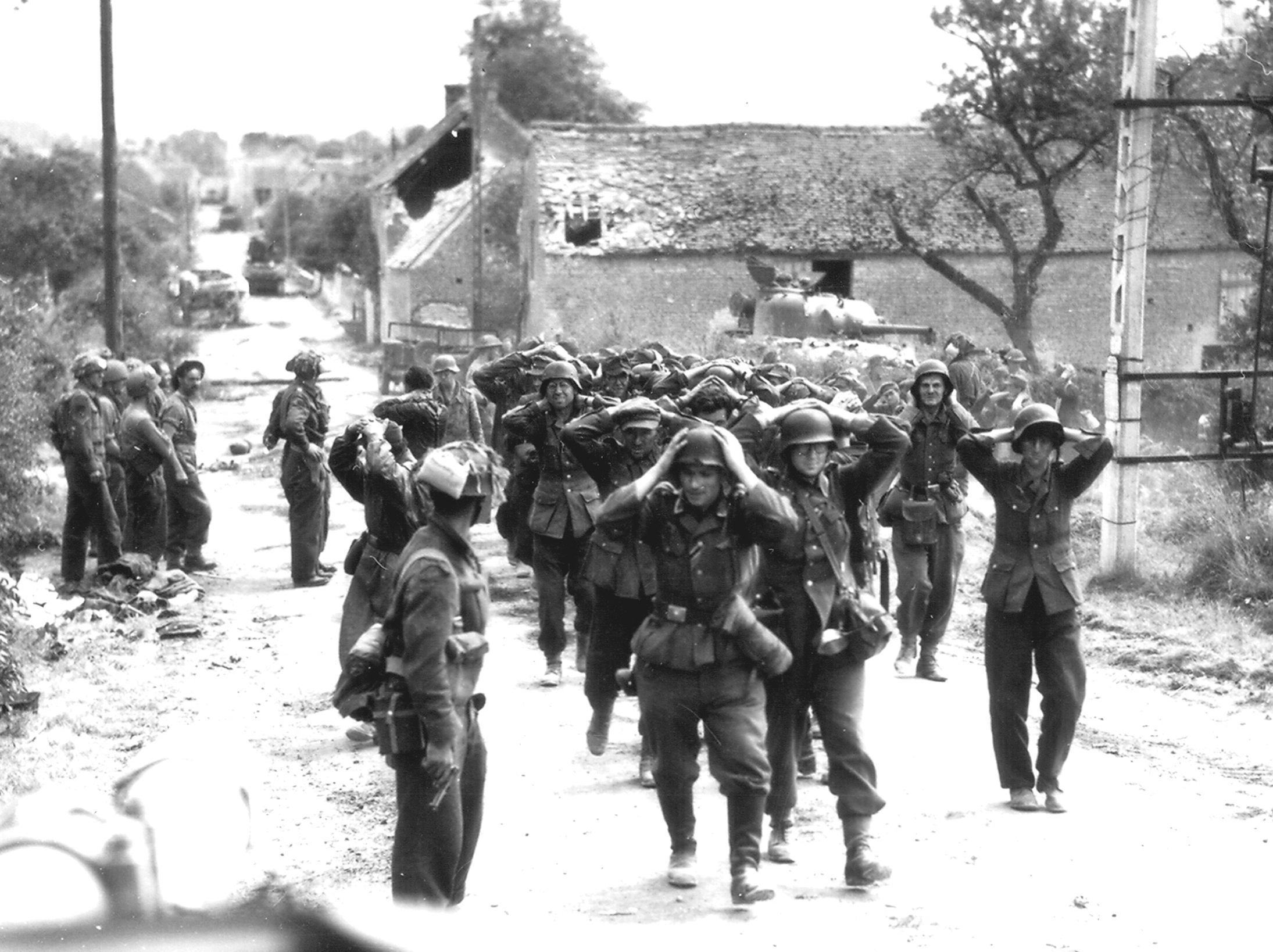
English: German forces surrendering in Saint-Lambert-sur-Dive |
||||||
| Дата |
21 август 1944 31 май 2008 (original upload date) |
||||||
| Източник |
Orne Departmental Records
|
||||||
| Автор |
Donald I. Grant / Canada. Dept. of National Defence / Library and Archives Canada / PA-116586 Original uploader was Climie.ca at en.wikipedia |
||||||
| Права (Повторно използване на файла) |
|
||||||
| други версии | |||||||


| Camera location | | View this and other nearby images on: OpenStreetMap |
|---|
Дневник на оригиналното качване
The original description page is/was here. All following user names refer to en.wikipedia.
- 2008-05-31 21:53 Climie.ca 300×225× (30003 bytes) {{Information |Description=German forces surrendering in St. Lambert-Sur-Dives |Source=Orne Departmental Records |Date=August 21, 1944 |Author=Unknown |Permission=British Public Domain (published before 1957) |other_versions= }} {{PD-UKGov}}
История на файла
Избирането на дата/час ще покаже как е изглеждал файлът към онзи момент.
| Дата/Час | Миникартинка | Размер | Потребител | Коментар | |
|---|---|---|---|---|---|
| текуща | 17:03, 8 юли 2013 | | 2190 × 1638 (785 КБ) | Gunbirddriver2 | User created page with UploadWizard |
Използване на файла
Следната страница използва следния файл:
Глобално използване на файл
Този файл се използва от следните други уикита:
- Употреба в ast.wikipedia.org
- Употреба в azb.wikipedia.org
- Употреба в en.wikipedia.org
- Употреба в es.wikipedia.org
- Употреба в fr.wikipedia.org
- Употреба в id.wikipedia.org
- Употреба в ja.wikipedia.org
- Употреба в pt.wikipedia.org
- Употреба в vi.wikipedia.org
- Употреба в zh.wikipedia.org