
Файл:Richmond-San Rafeal Bridge.jpg

Размер на този преглед: 600 × 600 пиксела. Други разделителни способности: 240 × 240 пиксела | 480 × 480 пиксела | 768 × 768 пиксела | 1200 × 1200 пиксела.
Оригинален файл (1200 × 1200 пиксела, големина на файла: 197 КБ, MIME-тип: image/jpeg)
| Този файл е от Общомедия и може да се използва от други проекти.
Следва информация за файла, достъпна през оригиналната му описателна страница. |
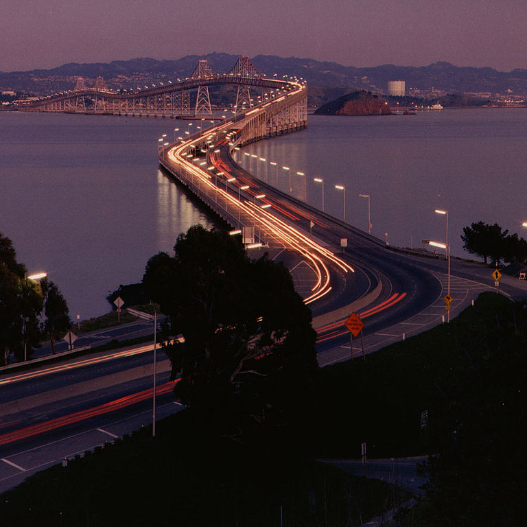
| Описание | Richmond-San Rafael Bridge facing east. | ||||||
| Източник | http://www.dot.ca.gov/hq/traffops/hwybrdg/tollbridge/History/richmond.html | ||||||
| Автор | Caltrans staff | ||||||
| Права (Повторно използване на файла) |
From the Caltrans web site is this posting:
There is no indication that this is a copyrighted work that requires additional permission.
|


| Camera location | | View this and other nearby images on: OpenStreetMap |
|---|
История на файла
Избирането на дата/час ще покаже как е изглеждал файлът към онзи момент.
| Дата/Час | Миникартинка | Размер | Потребител | Коментар | |
|---|---|---|---|---|---|
| текуща | 22:18, 26 юли 2006 | | 1200 × 1200 (197 КБ) | WikiLeon | {{Information |Description= |Source=http://www.dot.ca.gov/hq/traffops/hwybrdg/tollbridge/History/richmond.html |Date= |Author= |Permission=From the Caltrans [http://www.caltrans.ca.gov web site] is [http://www.caltrans.ca.gov/conditions.htm this posting]: |
Използване на файла
Следната страница използва следния файл:
Глобално използване на файл
Този файл се използва от следните други уикита:
- Употреба в ar.wikipedia.org
- Употреба в de.wikipedia.org
- Употреба в el.wikipedia.org
- Употреба в en.wikipedia.org
- Употреба в eo.wikipedia.org
- Употреба в es.wikipedia.org
- Употреба в fr.wikipedia.org
- Употреба в nl.wikipedia.org
- Употреба в pl.wikipedia.org
- Употреба в www.wikidata.org