
Файл:Bouvet-Location.JPG
Оригинален файл (872 × 872 пиксела, големина на файла: 113 КБ, MIME-тип: image/jpeg)
| Този файл е от Общомедия и може да се използва от други проекти.
Следва информация за файла, достъпна през оригиналната му описателна страница. |

|
Това изображение (или всички изображения в тази страница/категория) би трябвало да бъдат пресъздадени с използване на векторна графика във формат SVG. Това има няколко предимства; вижте Commons:Media for cleanup за повече информация. Ако разполагате с това избражение в SVG формат, моля качете го. След това заместете този шаблон с {{Vector version available|име на новия файл.svg}}.
|


Резюме
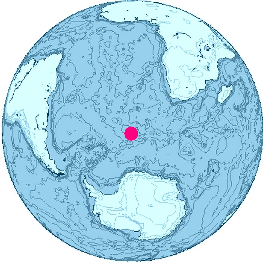
Location of Bouvet Island, South Atlantic Ocean, Antarctica
The map was created with this online map creation tool archive copy at the Wayback Machine.
Лицензиране

|
This work is free software; you can redistribute it and/or modify it under the terms of the GNU General Public License as published by the Free Software Foundation; either version 2 of the License, or any later version. This work is distributed in the hope that it will be useful, but without any warranty; without even the implied warranty of merchantability or fitness for a particular purpose. See version 2 and version 3 of the GNU General Public License for more details. |
История на файла
Избирането на дата/час ще покаже как е изглеждал файлът към онзи момент.
| Дата/Час | Миникартинка | Размер | Потребител | Коментар | |
|---|---|---|---|---|---|
| текуща | 16:24, 26 юни 2006 | | 872 × 872 (113 КБ) | Apcbg | Location of Bouvet Island, South Atlantic Ocean, Antarctica The map was created with this [http://www.aquarius.geomar.de/omc/ online map creation tool]. |
Използване на файла
Няма страници, използващи файла.
Глобално използване на файл
Този файл се използва от следните други уикита:
- Употреба в ban.wikipedia.org
- Употреба в br.wikipedia.org
- Употреба в et.wikipedia.org
- Употреба в fi.wikipedia.org
- Употреба в fr.wiktionary.org
- Употреба в io.wikipedia.org
- Употреба в kk.wikipedia.org
- Употреба в my.wikipedia.org
- Употреба в ne.wikipedia.org
- Употреба в nn.wikipedia.org
- Употреба в pl.wiktionary.org
- Употреба в pnb.wikipedia.org
- Употреба в ro.wikipedia.org
- Употреба в ur.wikipedia.org