
Файл:North West Leicestershire UK locator map.svg

Размер на този PNG предварителен преглед на изходния SVG файл: 761 × 600 пиксела. Други разделителни способности: 305 × 240 пиксела | 609 × 480 пиксела | 975 × 768 пиксела | 1280 × 1009 пиксела | 2560 × 2017 пиксела | 1425 × 1123 пиксела.
Оригинален файл (Файл във формат SVG, основен размер: 1425 × 1123 пиксела, големина на файла: 1021 КБ)
| Този файл е от Общомедия и може да се използва от други проекти.
Следва информация за файла, достъпна през оригиналната му описателна страница. |
| Описание |
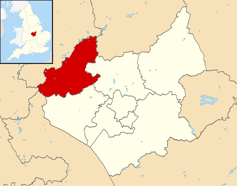
Map of Leicestershire, UK with North West Leicestershire highlighted. Equirectangular map projection on WGS 84 datum, with N/S stretched 160% |
| Дата | |
| Източник |
|
| Автор | Nilfanion, created using Ordnance Survey data |
| Права (Повторно използване на файла) |
Този файл се разпространява под лиценз Криейтив Комънс Признание — Споделяне на споделеното 3.0. Признание: Contains Ordnance Survey data © Crown copyright and database right
|
История на файла
Избирането на дата/час ще покаже как е изглеждал файлът към онзи момент.
| Дата/Час | Миникартинка | Размер | Потребител | Коментар | |
|---|---|---|---|---|---|
| текуща | 21:53, 13 август 2011 | | 1425 × 1123 (1021 КБ) | Nilfanion | {{Information |Description=Map of Leicestershire, UK with North West Leicestershire highlighted. Equirectangular map projection on WGS 84 datum, with N/S stretched 160% |Source=[[w:Ordnance Survey|Ordn |
Използване на файла
Следната страница използва следния файл:
Глобално използване на файл
Този файл се използва от следните други уикита:
- Употреба в cy.wikipedia.org
- Употреба в en.wikipedia.org
- Ashby-de-la-Zouch
- Breedon on the Hill
- Moira, Leicestershire
- Donisthorpe
- North West Leicestershire
- Coalville
- Kegworth
- Measham
- Willesley
- Whitwick
- Castle Donington
- Copt Oak
- Acresford
- Ibstock
- Heather, Leicestershire
- Belton, Leicestershire
- Ravenstone, Leicestershire
- Charley, Leicestershire
- Appleby Magna
- Snarestone
- Swepstone
- Stretton en le Field
- Bardon, Leicestershire
- Worthington, Leicestershire
- Packington
- Diseworth
- Appleby Parva
- Ellistown
- Osgathorpe
- Snibston
- Oakthorpe
- Thringstone
- Long Whatton
- Oaks in Charnwood
- Swannington, Leicestershire
- Albert Village
- Battram
- Wilson, Leicestershire
- Hemington, Leicestershire
- Blackfordby
- Coleorton
- Staunton Harold
- Normanton le Heath
- Chilcote
- Isley cum Langley
- Hugglescote
- Donington le Heath
- Griffydam
- Peggs Green
Преглед на глобалната употреба на файла.