
Файл:Canada Newfoundland and Labrador location map.svg

Размер на този PNG предварителен преглед на изходния SVG файл: 419 × 599 пиксела. Други разделителни способности: 168 × 240 пиксела | 336 × 480 пиксела | 537 × 768 пиксела | 716 × 1024 пиксела | 1432 × 2048 пиксела | 1512 × 2162 пиксела.
Оригинален файл (Файл във формат SVG, основен размер: 1512 × 2162 пиксела, големина на файла: 1,15 МБ)
| Този файл е от Общомедия и може да се използва от други проекти.
Следва информация за файла, достъпна през оригиналната му описателна страница. |
Резюме
| Описание |
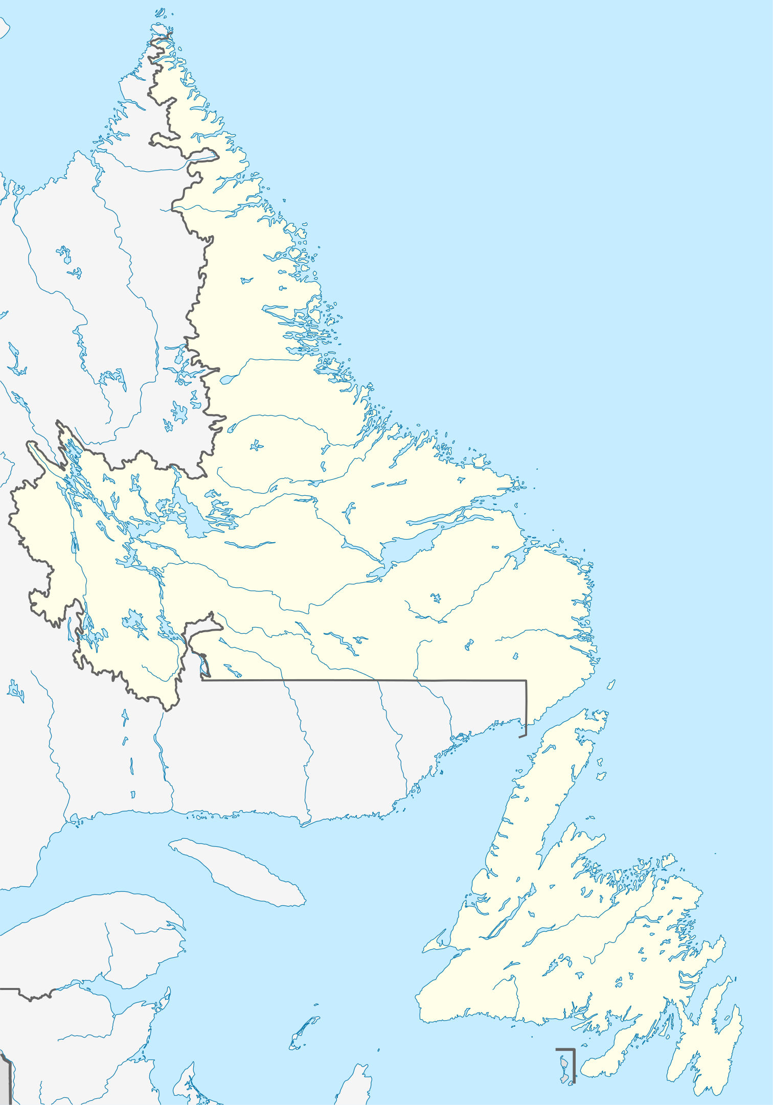
Quadratische Plattkarte, N-S-Streckung 160 %. Geographische Begrenzung der Karte:
Equirectangular projection, N/S stretching 160 %. Geographic limits of the map:
|
| Дата | |
| Източник |
Собствена творба, using
|
| Автор | NordNordWest |
| Права (Повторно използване на файла) |
Аз, носителят на авторските права над тази творба, я публикувам тук под следния лиценз: Този файл се разпространява под лиценз Криейтив Комънс Признание — Споделяне на споделеното 3.0.
|
| други версии |
Derivative works of this file: Labrador Region Map with Towns and Highway.svg
|


|
This map has been made or improved in the German Kartenwerkstatt (Map Lab). You can propose maps to improve as well.
|
История на файла
Избирането на дата/час ще покаже как е изглеждал файлът към онзи момент.
| Дата/Час | Миникартинка | Размер | Потребител | Коментар | |
|---|---|---|---|---|---|
| текуща | 14:38, 28 август 2009 | | 1512 × 2162 (1,15 МБ) | NordNordWest | {{int:filedesc}} {{Information |Description= {{de|Positionskarte von Neufundland und Labrador, Kanada}} Quadratische Plattkarte, N-S-Streckung 160 %. Geographische Begrenzung der Karte: * N: 60.8° N * S: 46 |
Използване на файла
Няма страници, използващи файла.
Глобално използване на файл
Този файл се използва от следните други уикита:
- Употреба в af.wikipedia.org
- Употреба в ar.wikipedia.org
- Употреба в ba.wikipedia.org
- Употреба в ce.wikipedia.org
- Употреба в cs.wikipedia.org
- Употреба в de.wikipedia.org
- St. John’s (Neufundland)
- Gros-Morne-Nationalpark
- Dildo (Neufundland)
- Gander
- Wasserkraftwerk Churchill Falls
- Channel-Port aux Basques
- Peterview
- Grand Falls-Windsor
- Badger (Neufundland und Labrador)
- Labrador City
- Happy Valley-Goose Bay
- L’Anse-au-Clair
- Red Bay (Neufundland und Labrador)
- Gander International Airport
- Mount Pearl
- Corner Brook
- Deer Lake (Neufundland)
- Stephenville (Neufundland)
- Twillingate
- Conception Bay South
- St. Anthony (Neufundland)
- L’Anse-Amour
- Arnold’s Cove
- North River (Town, Neufundland)
- Wikipedia:Kartenwerkstatt/Positionskarten/Nordamerika
- Ferryland
- Vorlage:Positionskarte Kanada Neufundland und Labrador
- Cape St. Mary’s
- Benutzer:Zuviele Interessen/Hvítramannaland
- Cape Race Lighthouse
- Come By Chance (Neufundland und Labrador)
- Point of Bay
- Mary Brown’s Centre
- Wabush
- Stephenville International Airport
- Admirals Beach
- Harbour Grace
- Point Rosee
- Sop’s Arm
- Vorlage:Positionskarte Kanada Neufundland
- Point Amour Lighthouse
- World U-17 Hockey Challenge 2004
- Placentia (Neufundland und Labrador)
Преглед на глобалната употреба на файла.