
Файл:Europe-Great Britain.svg

Оригинален файл (Файл във формат SVG, основен размер: 450 × 456 пиксела, големина на файла: 735 КБ)
| Този файл е от Общомедия и може да се използва от други проекти.
Следва информация за файла, достъпна през оригиналната му описателна страница. |

Резюме
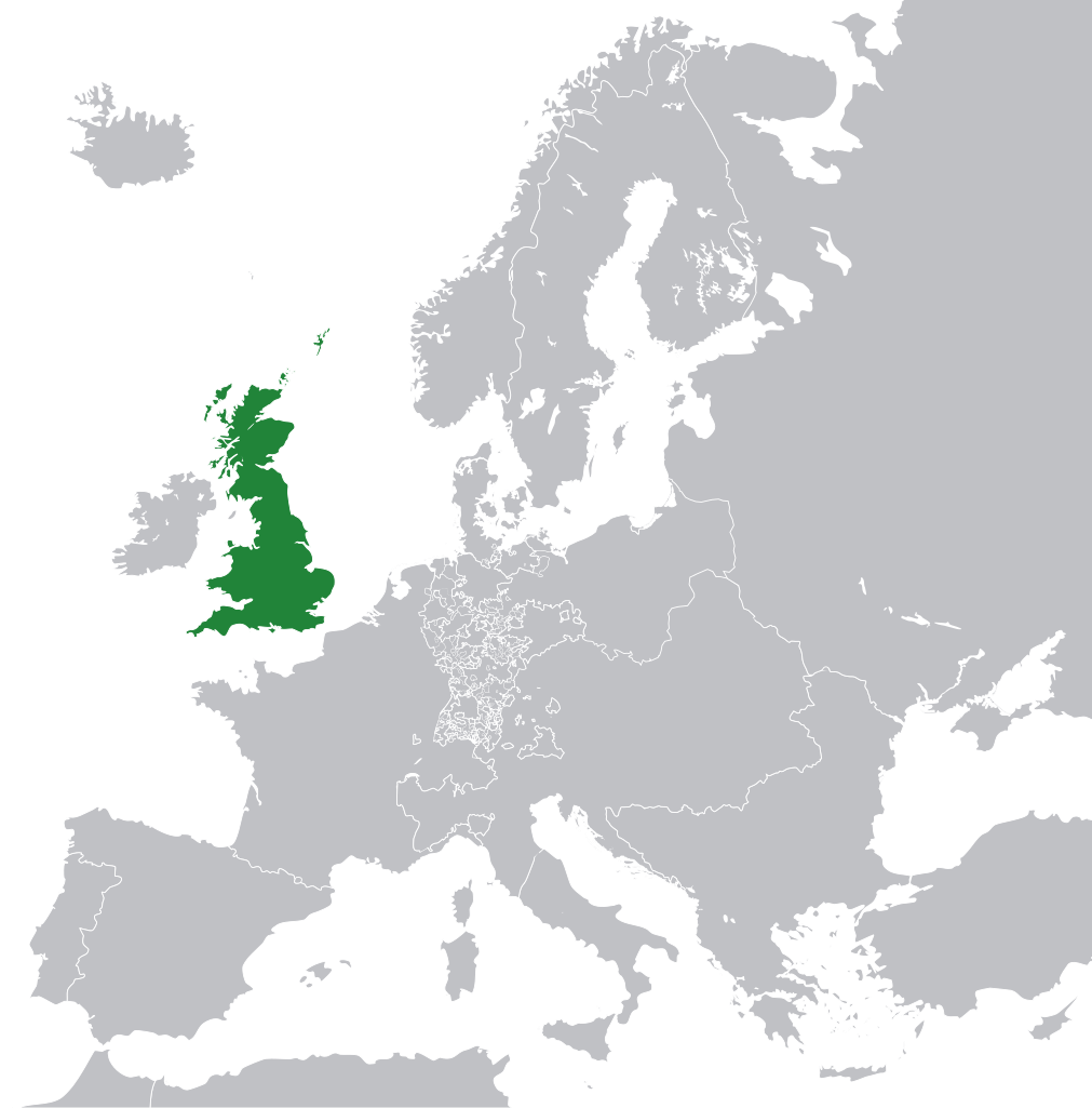
| Описание |
English: Great Britain in 1800 Europe. |
||
| Дата | |||
| Източник | File:Europe 1789.svg | ||
| Автор | Rob984 | ||
| други версии |
|
.svg)
Лицензиране
- Можете свободно:
- да споделяте – да копирате, разпространявате и излъчвате произведението
- да ремиксирате – да адаптирате произведението
- Съгласно следните условия:
- признание на авторството – Трябва да посочите авторството, да добавите връзка към лиценза и да посочите дали са правени промени. Можете да направите това по всякакъв разумен начин, но не и по начин, оставящ впечатлението, че същият/същите подкрепят вас или използването по някакъв начин на творбата от вас.
- споделяне на споделеното – В случай, че промените, видоизмените или използвайки като основа произведението, го надградите, то полученото производно произведение може да се разпространява само съгласно условията на същия или съвместим лиценз с оригиналния такъв.
This file may not have the correct information on its copyright status.
The reason given by the user who added this tag is: appears to be an uncredited (unattributed) derivative work of both Europe 1789.svg which is licensed under the Creative Commons Attribution-Share Alike 3.0 Unported licence. I believe the currently supplied license (Creative Commons Attribution-Share Alike 4.0 International) is compatible with this but the required attribution has not been supplied.
Notify the uploader with:
Items tagged with this template are sorted into Category:Items with disputed copyright information.
|
История на файла
Избирането на дата/час ще покаже как е изглеждал файлът към онзи момент.
| Дата/Час | Миникартинка | Размер | Потребител | Коментар | |
|---|---|---|---|---|---|
| текуща | 11:53, 8 ноември 2014 | | 450 × 456 (735 КБ) | Rob984 | User created page with UploadWizard |
Използване на файла
Следната страница използва следния файл:
Глобално използване на файл
Този файл се използва от следните други уикита:
- Употреба в en.wikipedia.org
- Употреба в fr.wikipedia.org
- Употреба в hi.wikipedia.org
- Употреба в hr.wikipedia.org
- Употреба в ja.wikipedia.org
- Употреба в ka.wikipedia.org
- Употреба в nl.wikipedia.org
- Употреба в pl.wikipedia.org
- Употреба в rue.wikipedia.org
- Употреба в ru.wikipedia.org
- Употреба в zh-min-nan.wikipedia.org