
Файл:Isle of Wight UK location map.svg

Размер на този PNG предварителен преглед на изходния SVG файл: 800 × 487 пиксела. Други разделителни способности: 320 × 195 пиксела | 640 × 390 пиксела | 1024 × 624 пиксела | 1280 × 780 пиксела | 2560 × 1559 пиксела | 1425 × 868 пиксела.
Оригинален файл (Файл във формат SVG, основен размер: 1425 × 868 пиксела, големина на файла: 843 КБ)
| Този файл е от Общомедия и може да се използва от други проекти.
Следва информация за файла, достъпна през оригиналната му описателна страница. |
| Описание |
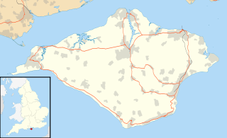
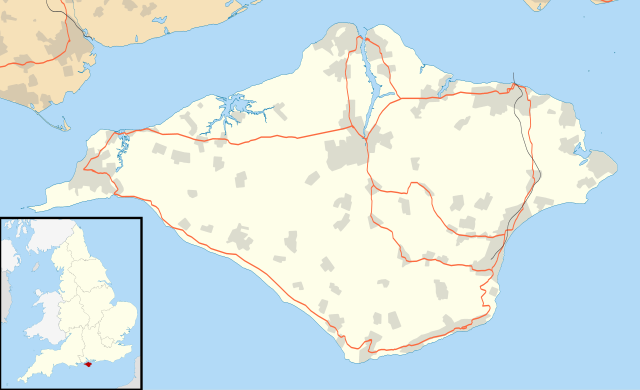
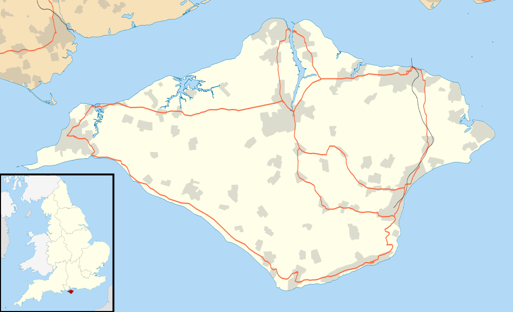
Map of the Isle of Wight, UK with the following information shown:
Equirectangular map projection on WGS 84 datum, with N/S stretched 155% Geographic limits:
|
| Дата | |
| Източник |
|
| Автор | Nilfanion, created using Ordnance Survey data |
| Права (Повторно използване на файла) |
Този файл се разпространява под лиценз Криейтив Комънс Признание — Споделяне на споделеното 3.0. Признание: Contains Ordnance Survey data © Crown copyright and database right
|
| други версии | File:Isle of Wight UK district map (blank).svg - Blank map |
.svg)
История на файла
Избирането на дата/час ще покаже как е изглеждал файлът към онзи момент.
| Дата/Час | Миникартинка | Размер | Потребител | Коментар | |
|---|---|---|---|---|---|
| текуща | 18:56, 26 септември 2010 | | 1425 × 868 (843 КБ) | Nilfanion | {{Information |Description=Map of the Isle of Wight, UK with the following information shown: *Administrative borders *Coastline, lakes and rivers *Roads and railways *Urban areas Equirectangular map projection on WGS 84 datum, with N |
Използване на файла
Следната страница използва следния файл:
Глобално използване на файл
Този файл се използва от следните други уикита:
- Употреба в ar.wikipedia.org
- Употреба в ceb.wikipedia.org
- Употреба в en.wikipedia.org
- Osborne House
- Carisbrooke Castle
- Sandown
- Newport, Isle of Wight
- Cowes
- Ventnor
- Yarmouth, Isle of Wight
- Ryde
- Shanklin
- Blackgang Chine
- East Cowes
- Bembridge
- Brading
- St Helens Fort
- No Man's Land Fort
- Yarmouth Castle
- Fort Albert
- Fort Victoria, Isle of Wight
- Golden Hill Fort
- St Lawrence, Isle of Wight
- The Needles Batteries
- Freshwater, Isle of Wight
- Niton
- Fishbourne, Isle of Wight
- Wootton Bridge
- Appuldurcombe House
- Wroxall, Isle of Wight
- List of places on the Isle of Wight
- Newtown, Isle of Wight
- Arreton
- Chillerton Down transmitting station
- St Helens, Isle of Wight
- Carisbrooke
- Whitwell, Isle of Wight
- Sandown Bay
- Ningwood
- Binstead
- Totland
- Shalfleet
- Cranmore, Isle of Wight
- Brook, Isle of Wight
- Blackwater, Isle of Wight
- Kingston, Isle of Wight
- Gatcombe
- Shorwell
- Newchurch, Isle of Wight
- Chale
- Godshill
Преглед на глобалната употреба на файла.