
Файл:Rutland UK location map.svg

Размер на този PNG предварителен преглед на изходния SVG файл: 750 × 600 пиксела. Други разделителни способности: 300 × 240 пиксела | 600 × 480 пиксела | 960 × 768 пиксела | 1280 × 1024 пиксела | 2560 × 2048 пиксела | 1425 × 1140 пиксела.
Оригинален файл (Файл във формат SVG, основен размер: 1425 × 1140 пиксела, големина на файла: 856 КБ)
| Този файл е от Общомедия и може да се използва от други проекти.
Следва информация за файла, достъпна през оригиналната му описателна страница. |
| Описание |
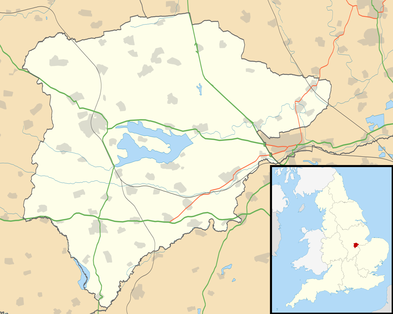
Map of Rutland, UK with the following information shown:
Equirectangular map projection on WGS 84 datum, with N/S stretched 160% Geographic limits:
|
| Дата | |
| Източник |
|
| Автор | Nilfanion, created using Ordnance Survey data |
| Права (Повторно използване на файла) |
Този файл се разпространява под лиценз Криейтив Комънс Признание — Споделяне на споделеното 3.0. Признание: Contains Ordnance Survey data © Crown copyright and database right
|
| други версии | File:Rutland UK district map (blank).svg - Blank map |
.svg)
История на файла
Избирането на дата/час ще покаже как е изглеждал файлът към онзи момент.
| Дата/Час | Миникартинка | Размер | Потребител | Коментар | |
|---|---|---|---|---|---|
| текуща | 19:10, 26 септември 2010 | | 1425 × 1140 (856 КБ) | Nilfanion | {{Information |Description=Map of Rutland, UK with the following information shown: *Administrative borders *Coastline, lakes and rivers *Roads and railways *Urban areas Equirectangular map projection on WGS 84 datum, with N/S stretched 160 |
Използване на файла
Следната страница използва следния файл:
Глобално използване на файл
Този файл се използва от следните други уикита:
- Употреба в af.wikipedia.org
- Употреба в ar.wikipedia.org
- Употреба в ceb.wikipedia.org
- Употреба в en.wikipedia.org
- Oakham
- Uppingham
- RAF Cottesmore
- Wing, Rutland
- Stretton, Rutland
- Langham, Rutland
- Pickworth, Rutland
- Great Casterton
- Ryhall
- Little Casterton
- Tixover
- North Luffenham
- RAF North Luffenham
- Whitwell, Rutland
- Braunston-in-Rutland
- Whissendine
- Ashwell, Rutland
- Ayston
- Barleythorpe
- Barrow, Rutland
- Barrowden
- Belton-in-Rutland
- Bisbrooke
- Brooke, Rutland
- Burley, Rutland
- Caldecott, Rutland
- Clipsham
- Cottesmore, Rutland
- Edith Weston
- Egleton
- Empingham
- Essendine
- Exton, Rutland
- Glaston
- Greetham, Rutland
- Gunthorpe, Rutland
- Hambleton, Rutland
- Ketton
- Lyddington
- Lyndon, Rutland
- Manton, Rutland
- Market Overton
- Morcott
- Normanton, Rutland
- Pilton, Rutland
- Preston, Rutland
Преглед на глобалната употреба на файла.